


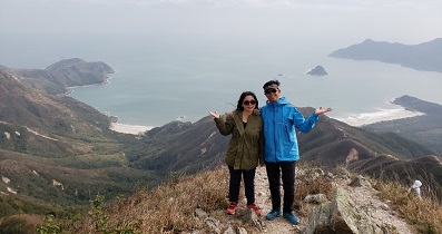
 Recommend YouTube


| View : |  | ||
| Difficulty : |  | ||
| Path : | |||
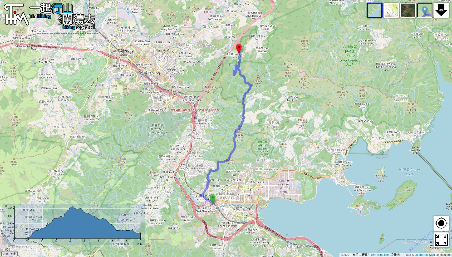
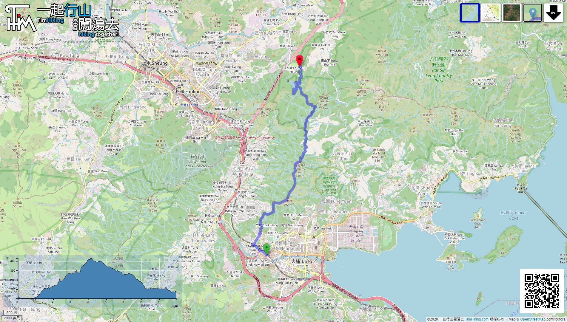
| Length : | 9km | ||
| Estimate : | 3½hours | ||
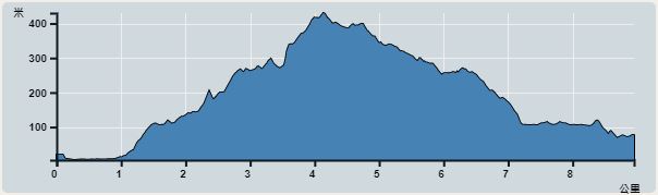 | |
| Ascent : 463m | Descent : 426m |
| Max : 430m | Min : 4m |
| (The accuracy of elevation is +/-30m) | |


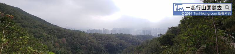

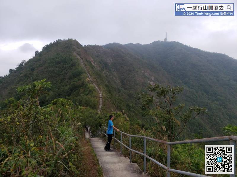
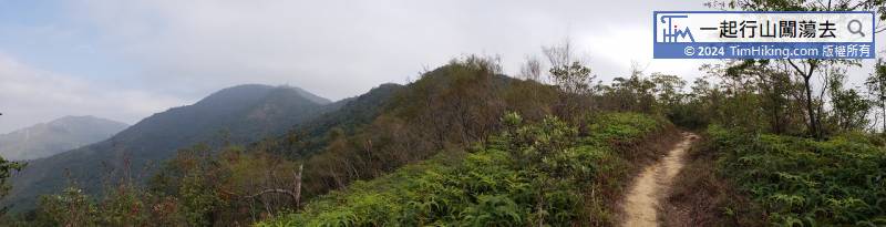
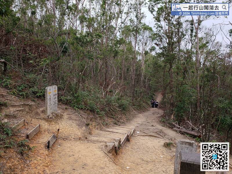
The first section of the mountain trail is dominated by steps,
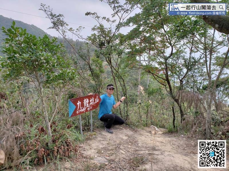
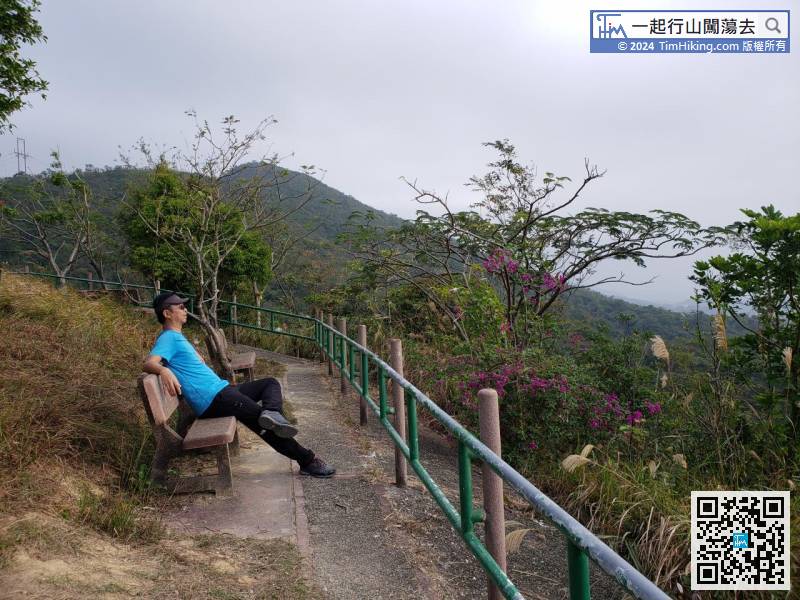
There is a big sign behind the Sitting-out Area, indicating the direction of Cloudy Hill.
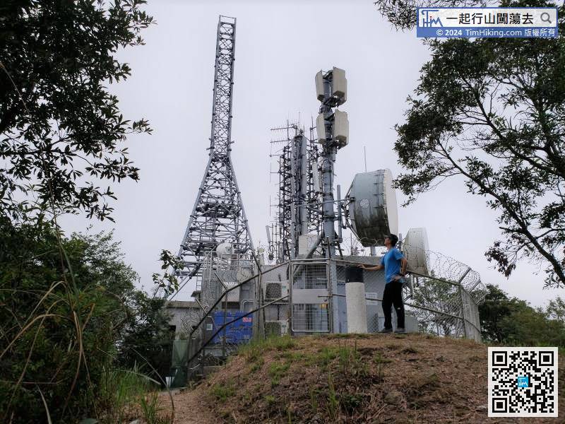
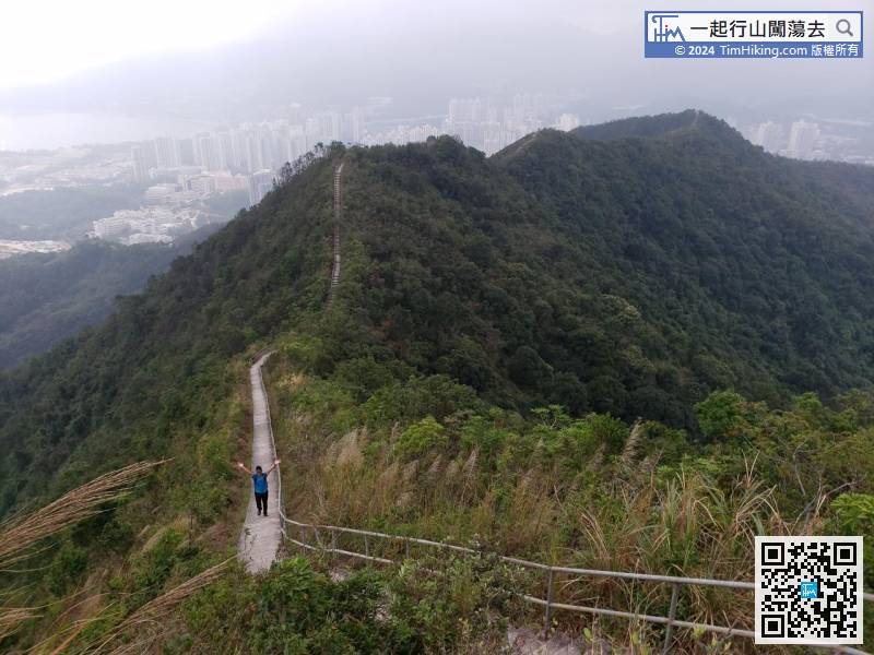
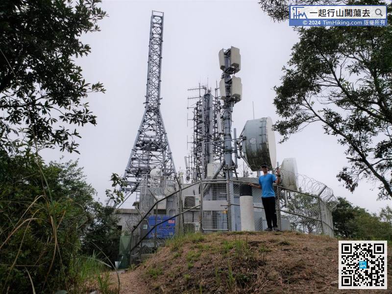
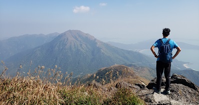
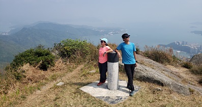
here is a large digital TV Broadcasting Station, and there is also a trigonometrical station.
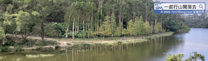
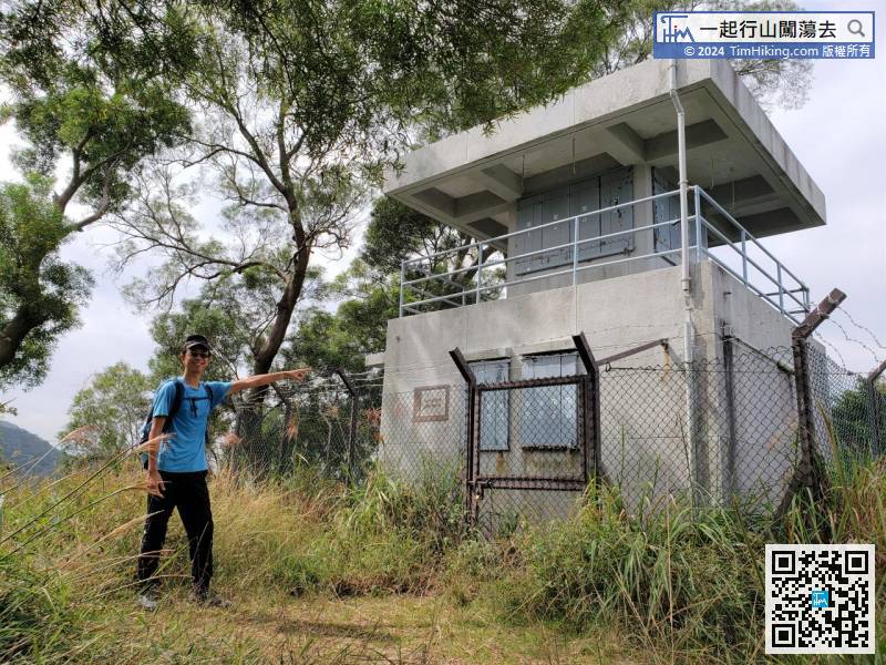
Go to a crossroad, the left is towards Hok Tau Fire Lookout, and the front is direct to Lau Shui Heung Reservoir.


